Low Stress Bike Routes / Networks -> Mapping Tool
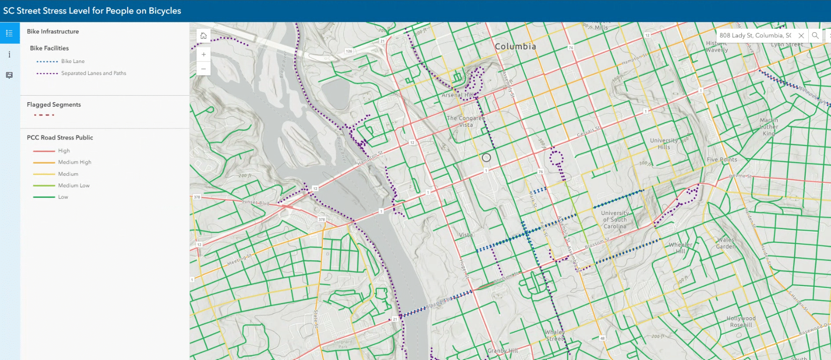
This mapping tool is designed to help you find the safest and least stressful bike routes and networks, already in existence throughout SC. The interactive map illustrates the relative stress level of most roads and streets in our state.
Use this tool to find better routes to get you from A to B, according to your desired comfort level. Want to get around a busy street? Find the backroads that will help you navigate around higher stressed streets.

And send us your feedback!
Find a street that is a higher stress level than what the map denotes?
Tell us by submitting your comment in the Feedback Form.
To do that, click the segment that you think should be reclassified and then click the Bike Stress Feedback Form in the Info Window to the left of the map.
Then we will process your Feedback Forms to improve the accuracy of the map.
